|
Our list for 6 May 2007:
- American Rubyspot 30
- Emma's Dancer 30
- Vivid Dancer 100+
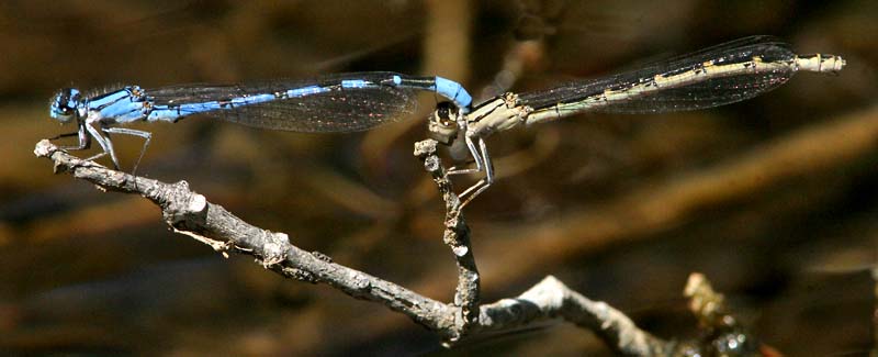
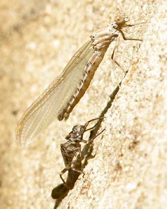
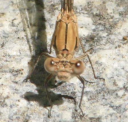
- Northern Bluet 20 males (in-hand i.d.)
- Northern-type Bluet 300+
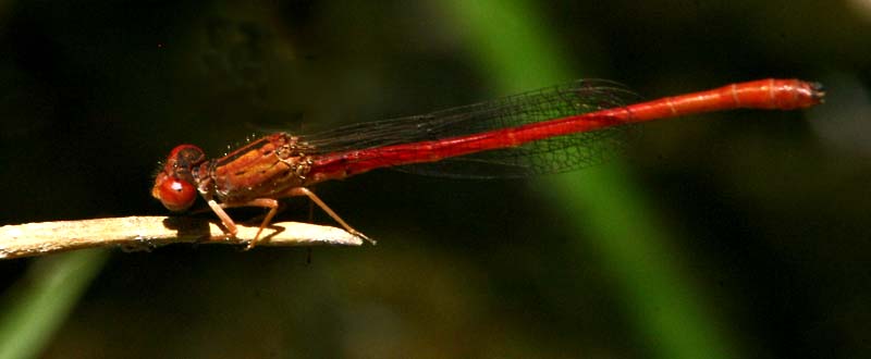
- Desert Firetail 1 m
- Western Forktail 60 (a very high local count)
- California Darner 8
- Blue-eyed Darner 2
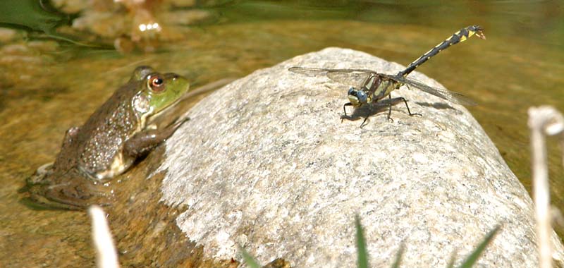
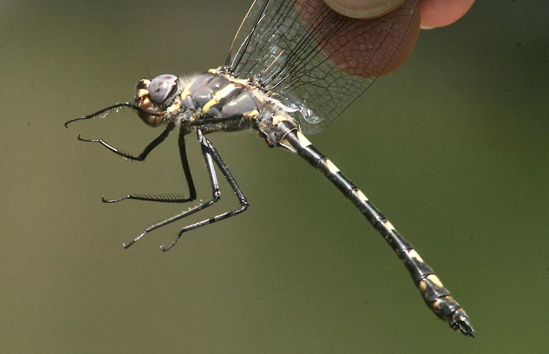
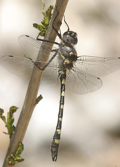
- Pacific Clubtail 8
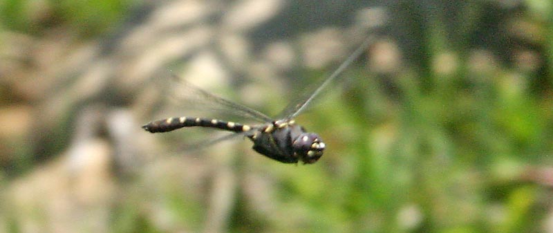
- Grappletail 1 [in flight; PGJ only]
- Western River Cruiser 4 m [1 netted]
- Western Pondhawk 4 (3 m, 1 f)
- Flame Skimmer 3
- Red Rock Skimmer 1 f
- Cardinal Meadowhawk 20
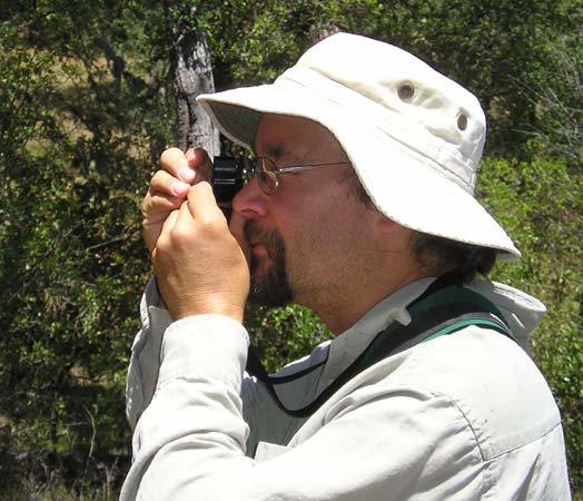
Don Roberson & Paul Johnson
|
Directions: From Hwy 101 in King
City, go south on Jolon Road [G14] about 16.7 mi, and turn right (west)
to the entrance gate for Ft. Hunter-Liggett. Here you must get a permit
by stating where you are going, and showing driver's license,
registration, and proof of insurance. You must have these documents to
enter the military base. They also sometimes ask for i.d. of
passengers. [This is the current protocol. Things were much more
relaxed in the past. There are times, though, when Army training is
underway, and the public road may be temporarily closed.]
Continue west 5.6 mi to Del Venturi Road [this is
1.7 mi past the turnoff to Nacimiento-Fergusson Road that goes south
and eventually to Hwy 1 on the coast]. Del Venturi Road is marked;
signs also say to The Indians and Memorial Park. It is a paved road
that quickly crosses the San Antonio River at a paved ford, and will do
so once more near the end of your ~9 mi drive through Hunter-Liggett.
One is not allowed to stop or pull off the road on the military base.
Once you reach the cattle guard and sign for Los Padres National
Forest, you are back on public land, and may stop and go where you
wish. Just 0.4 mi farther there is a pull-off on the left with a
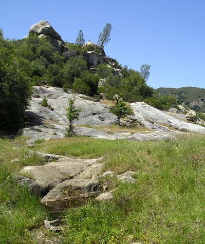
parking area and stile. This trail leads to the big rocks [Wagon Caves]
visible from the parking lot. A small spring-fed stream is the first
thing one crosses after the trail forks to the right; follow this tiny
stream downstream for odes.
Returning to the parking area for Wagon Caves,
drive 0.4 mi farther on the paved road (toward Memorial Park) to the
first dirt road. Turn left. This is a rough dirt road that requires
good clearance (but not 4-wheel drive). The road will divide –
thereafter it is simply a loop and you can go left or right. I
typically go right and bear left at the only other intersection. You
will soon be on a bluff overlooking the San Antonio River. The road has
one sharp jog. After that, where the dirt road swings sharply left and
back uphill and inland, there if a small camping spot on your right
that is at the edge of the bluff. Park here (or nearby, if folks are
using the camping spot) and follow the narrow but well-marked trail
from the camp site and to the east, eventually heading steeply down to
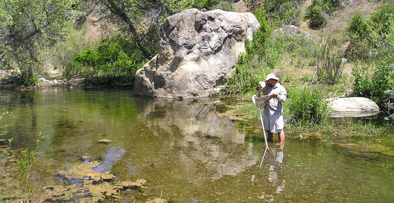
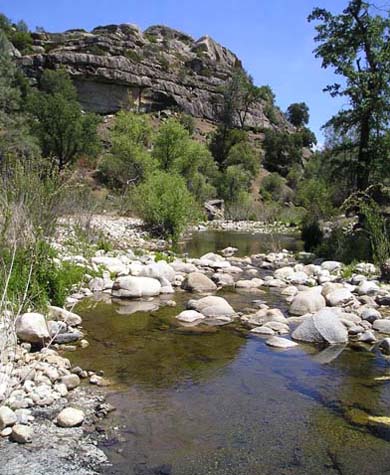
the valley bottom. Walk over to the river. Upstream are riffles and
rapids, downstream are slower stretches and little ponds. There are
usually nice odes in either direction, so try both ways. [The steep
trail down to the river is rugged and requires some athletic ability;
one could not manage it if disabled. The river is grazed by cows, so be
aware. There can be ticks or rattlesnakes, and it can be very hot in
the summer, so carry water.]
|