|
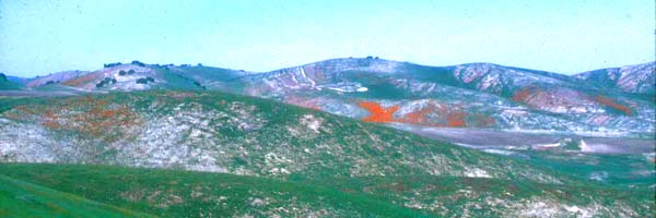
California |
|
||
|
|
|
||
|
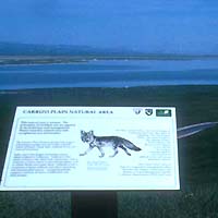
administered by BLM |
|
|
California |
|
||
|
|
|
||
|
administered by BLM |
|
|
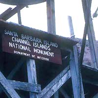
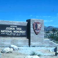
NATIONAL MONUMENT California |
 |
||
 |
|
||
|
|
|
||
|
administered by BLM |
|
|
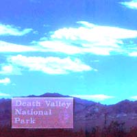
NATIONAL PARK California |
|
||
 |
|
||
|
|
|
||
|
became National Park 1980 administered by National Park Service |
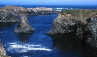
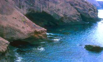
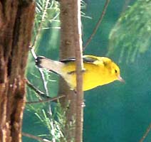
exciting place for visitors to explore. The park's main visitor center overlooks Ventura harbor at Oxnard. I've visited thrice: a boat load of birders landed on Santa Barbara I. in Sep 1974 and located a good selection of fall vagrants; a boat trip in Mar 1977 circled Anacapa I. and produced a long-staying American Oystercatcher; and a tourist visit to Santa Cruz I. in Aug 1992 netted views of Island Scrub-Jay and a variety of endemic subspecies. |
|
NATIONAL PARK California |
|
||
 |
|
||
|
|
|
||
|
became National Park 1994 administered by National Park Service |
|
|
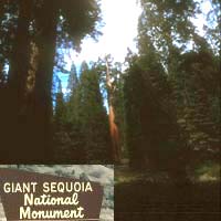
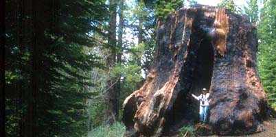
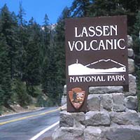
NATIONAL MONUMENT California |
|
||
 |
|
||
|
|
|
||
|
administered by National Park Service |
|
|
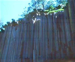
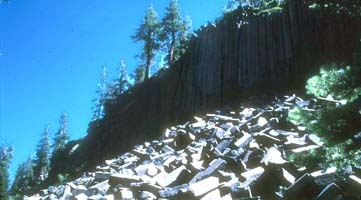
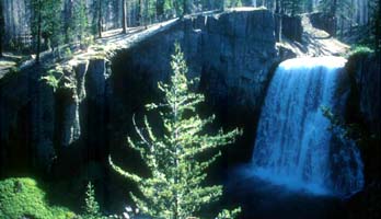
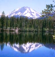
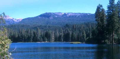
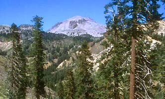
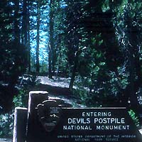
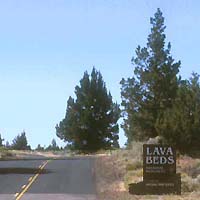
NATIONAL MONUMENT California |
 |
 |
 |
|
|
|
|
administered by USDA National Forest Service |
|
|
NATIONAL PARK California |
|
||
 |
|
||
|
|
|
||
|
became National Park 1994 administered by National Park Service |
|
|
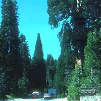
NATIONAL PARK California |
|
||
 |
|
||
|
|
|
||
|
became National Park 1940 administered by National Park Service |
|
|
NATIONAL PARK California |
|
||
 |
|
||
|
|
|
||
|
administered by National Park Service |
|
|
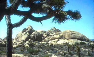
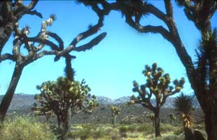
NATIONAL MONUMENT California |
|
||
 |
|
||
|
|
|
||
|
administered by National Park Service |
|
More National Parks, Monuments, Battlefields and Historic Sites are arranged geographically by these links:
|
Footnotes on this page:
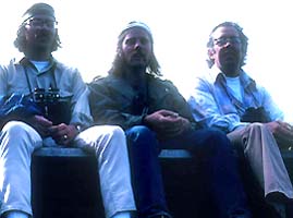
1 Birders on the Santa Barbara I. dock on 20 Sep 1974 are (L to R) Steve Bailey, Kimball Garrett, Guy McCaskie.PHOTOS: All photos on this page are © 2004 Don Roberson; all rights reserved.
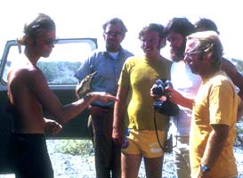
2 Birder holding Least Bittern on 1 June 1974 is Van Remsen; those watching are (L to R) Guy McCaskie, Jon Dunn, John Luther (with camera), Steve Summers; hidden from view behind them is Lee Jones.