|
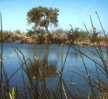
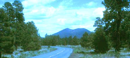
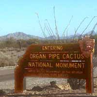
NATIONAL MONUMENT Arizona |
 |
|||
 |
|
|||
|
|
|
|||
|
administered by National Park Service |
|
|
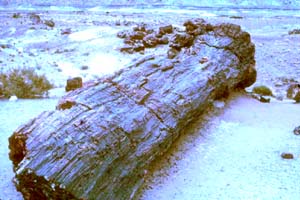
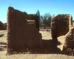
NATIONAL MONUMENT Arizona |
|
|||
|
|
|
|||
|
|
|
|||
|
administered by National Park Service |
|
|
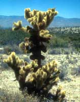
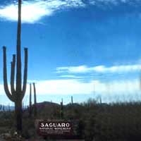
NATIONAL PARK Arizona |
 |
||
 |
|
||
|
|
|
||
|
became National Park 1962 administered by National Park Service |
|
|
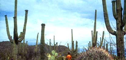
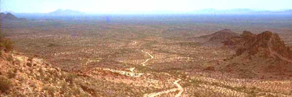
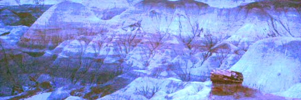
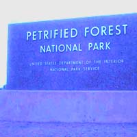
NATIONAL PARK Arizona |
 |
||
 |
|
||
|
|
|
||
|
became National Park 1994 administered by National Park Service |
|
|
NATIONAL MONUMENT Arizona |
 |
||
 |
|
||
|
|
|
||
|
administered by National Park Service |
|
|
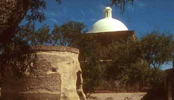
NATIONAL HISTORICAL PARK Arizona |
 |
||
 |
|
||
|
|
|
||
|
redesignated National Historical Park 1990 administered by National Park Service |
|
|
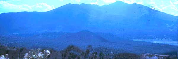
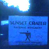
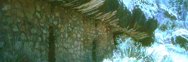
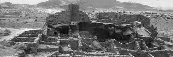
NATIONAL MONUMENT Arizona |
 |
 |
 |
|
|
|
|
administered by National Park Service |
|
|
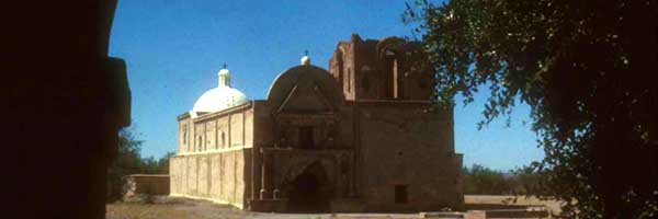
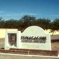
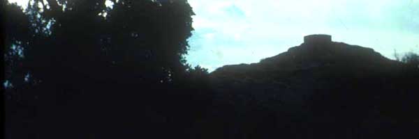
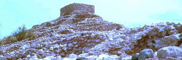
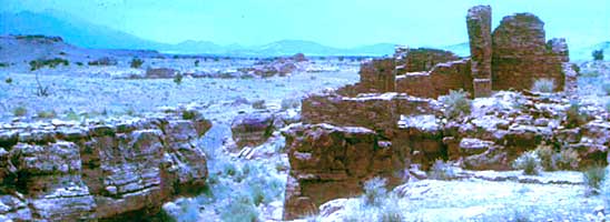
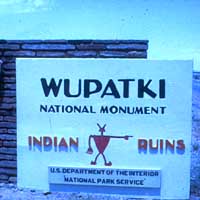
NATIONAL MONUMENT Arizona |
 |
 |
 |
|
|
|
|
administered by National Park Service |
|
|
NATIONAL MONUMENT Arizona |
 |
 |
 |
|
|
|
|
administered by National Park Service |
|
More National Parks, Monuments, Battlefields and Historic Sites are arranged geographically by these links:
|
PHOTOS: All photos on this page are © 2004 Don Roberson; all rights reserved.