NATIONAL PARKS, MONUMENTS & SITES:
A PERSONAL RETROSPECTIVE
photos and text by Don Roberson
creagrus@montereybay.com
Part Five: ARIZONA [A-N]
CANYON DE CHELLY
NATIONAL MONUMENT

Arizona

photos June 1970
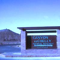
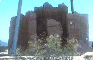
Canyon de Chelly (pronounced "dee-shay") is a very impressive National Monument in northeast Arizona. Sand-bottomed canyons wind among sheer red cliffs, and there and there are some really dramatic prehistoric ruins from peoples that lived here between AD350-1300. A huge natural spire, Spider Rock, rises in the center of one canyon. Many of the archaeological sites can only be visited on special ranger guided tours, often using big-wheeled trucks to get through the deep canyon sands.
established 1931
administered by National Park Service
clockwise from top left: canyon from Tsesi overlook; canyon tour by truck with oversized sand tires; Antelope House Ruin [swastika-like symbol on back wall is an ancient Navajo symbol]; White House ruin tucked into niche (lower left) in huge cliff face
CASA GRANDE RUINS
NATIONAL MONUMENT

Arizona

photos June 1970
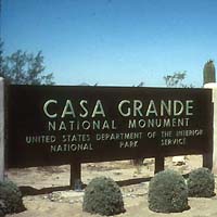
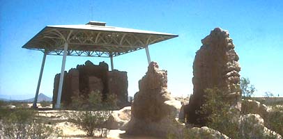
clockwise from top left: Casa Grande ruin, distant view of Casa Grande ruin and cover
established 1918
administered by National Park Service
Casa Grande National Monument has been under federal protection since 1892; it was obvious that this ruin of a 4-story building was impressive. It was built by the Hohokam peoples about 650 years ago. Today, a space-age umbrella protects it from the elements, giving it a surreal appearance from a distance in the flat desert south of Phoenix. There are about 60 prehistoric sites located within the monument.
CHIRICAHUA
NATIONAL MONUMENT

Arizona

photos June 1970
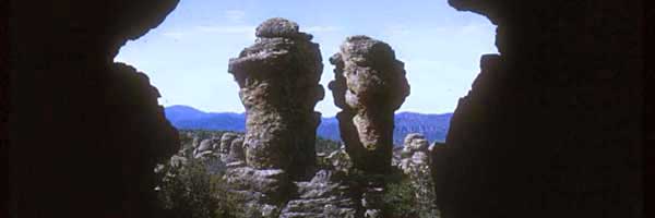
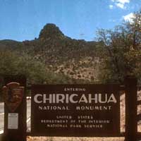
clockwise from top left: 'Punch & Judy' rocks; Echo Canyon; Pinnacle Rock (this is with a self-timer as I try to dash up to stand next to it...)
established 1924
administered by National Park Service
Chiricahua National Monument is a wonderland of rock formations on the west slope of the Chiricahua Mountains in southeastern Arizona. I would think it would be a great place to take kids on hikes because there are so many weird and fun rocks. The rocks themselves were laid down in a volcanic eruption 27 million years ago, and then weathered to these shapes over the eons. There is great biodiversity in the park, and just over the ridge, on the east slopes of the Chiricahuas, are some of the best birding sites in the U.S. (they are outside the park).
CORONADO
NATIONAL MEMORIAL

Arizona

photos June 1970
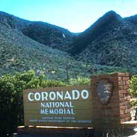
clockwise from top left: view from Montezuma Pass looking south into Mexico along what is believed to be the route of the Coronado expedition; painting of Vasquez de Coronado on a sign in the park; Coronado Peak
established 1941
as International Memorial
redesignated 1952
administered by National Park Service
Coronado National Memorial commemorates the first major exploration of the American southwest by Europeans, the 1540 explorations of Vasquez de Coronado in search of gold and treasure. My visit in 1970 was simply a drive-through enroute to southeast Arizona, but I do recall grasslands, oak woodlands, and juniper groves with some overlooks with sweeping vistas into Mexico in this 4750 acre memorial.
FORT BOWIE
NATIONAL HISTORIC SITE

Arizona

photos June 1970
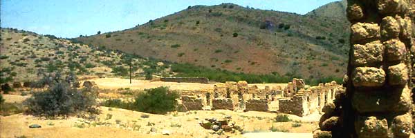
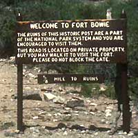
clockwise from top left: ruins of Ft. Bowie from stables; memorial to the capture of Geronimo in 1886 on AZ-NM border (not in this historic site]; photo of Geronimo on sign at historic site
authorized 1964
but formally
established 1972
administered by National Park Service
Ft. Bowie preserves the ruins of Ft. Bowie, an important U.S. military post from the 1850s into the 1880s in the Chiricahua Mountains of southeast Arizona. The historic site includes the locale of Bascom Affair, a wagon train massacre, and the Battle of Apache Pass, in which Chiricahua Apaches under Mangus Colorados and Cochise fought California volunteers. Military operations centered here during efforts to subdue the Apaches, eventually culminating in the surrender of Geronimo in 1886 and the banishment of the Chiricahuas to Florida and Alabama. The surrender monument is not part of the historic site but I visited it during the same day back in 1970. At that time, the historic site was not developed for tourists and one hiked in off a dirt road. Another important site, "Cochise's Stronghold," is now a state campground where I camped.
 GRAND CANYON
NATIONAL PARK

Arizona

photos July 1968, Nov 2004
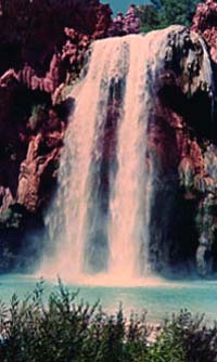
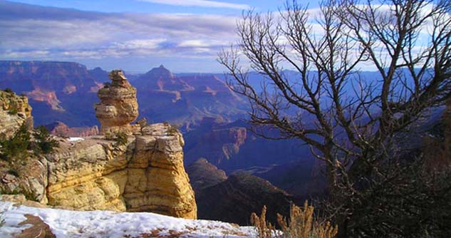
above: clockwise from top left: early morning view from Moran Pt.; view westward from inside 'Watchtower' at Desert View with Indian pottery; Colorado River view from Mojave Pt. below left to right: Havasupai Falls; afternoon view of pinnacle near Wachita Pt.  All the views shown are from the South Rim.
established 1893
as forest preserve, then as Nat'l Monument 1908
established as National
Park in 1919
administered by National Park Service
Grand Canyon is the most spectacular example of a river-eroded canyon in the world. The Colorado River has gouged a canyon that is up to a mile deep and 18 miles wide through 1.8 billion-year-old rock. The different rock layers provide ever-changing color panoramas as the light changes through the day. I found it particularly awesome with snow along the rim during a Thanksgiving visit, but even then crowds can be annoying [the park can be packed with tourists, especially in summer]. When I was 16, my dad and I hiked down an arm of the canyon at Supai, to the blue-green water of the creek that goes over Havasupai Falls. It is a very different experience to be down in the canyon.
MONTEZUMA CASTLE
NATIONAL MONUMENT

Arizona

photos July 1970
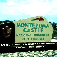
"Montezuma Castle" is, of course, a misnomer. Early white settlers gave the ruin this name on the mistaken belief it was built by Aztecs on their way south of Mexico. In fact, the five-story, 20-room dwelling was built by Sinagua farmers in the 12th century. It is one of the best preserved prehistoric structures in the Southwest. A detached unit of the Monument protects Montezuma Well, a limestone sink that supplied irrigation water to the prehistoric people.
established 1906
administered by National Park Service
clockwise from top left: Montezuma Castle; closer view Montezuma Castle; reflections in Montezuma Well

More National Parks, Monuments, Battlefields and Historic Sites are arranged geographically by these links:

Part 1
CALIFORNIA
A-L
Part 9
NORTHERN ROCKIES
ID/MT/WY
Part 2
CALIFORNIA
M-Z
Part 10
GREAT PLAINS
ND/SD/NE/KS/OK
Part 3
NORTHWEST & FAR WEST
OR/WA/AK/HI
Part 11
UPPER MIDWEST
MN/WI/IA/MI/IL/IN/OH/KY
Part 4
GREAT BASIN
NV/UT
Part 12
MISSISSIPPI VALLEY
MO/AR/LA/TN/MS
Part 5
ARIZONA
A-N
Part 13
SOUTHEAST & CARIBBEAN
AL/FL/GA/SC/NC & P. Rico, V.I.
Part 6
ARIZONA
O-Z
Part 14
OLD VIRGINIA
VA/WV
Part 7
SOUTHWEST
NM/TX
Part 15
CAPITOL AREA
DC/VA(part)/DE
Part 8
CENTRAL ROCKIES
CO
Part 16
NORTHEAST
PA/MD/NJ/NY/MA/ME et al.

PHOTOS: All photos on this page are © 2004 Don Roberson; all rights reserved.

TOP

TO NATIONAL PARKS & MONUMENTS PORTAL

TO BIRD FAMILIES OF THE WORLD

TO WORLD TRIP CHRONOLOGY

TO MONTEREY COUNTY PAGE

GO TO HOME PAGE

Page created 25 Mar-21 Oct 2004