|
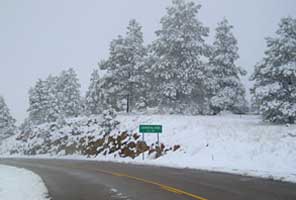
NATIONAL MONUMENT New Mexico |
|
||
 |
|
||
|
|
|
||
|
administered by National Park Service |
|
|
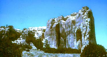
NATIONAL MONUMENT New Mexico |
|
||
|
|
|
||
|
|
|
||
|
administered by National Park Service |
|
|
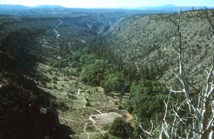
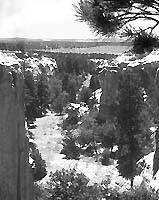
NATIONAL HISTORICAL PARK New Mexico |
|
||
 |
|
||
|
|
|
||
|
redesignated as Nat'l Historic Park 1980 administered by National Park Service |
|
|
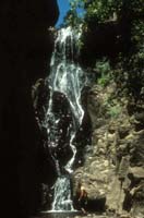
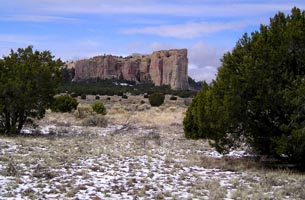
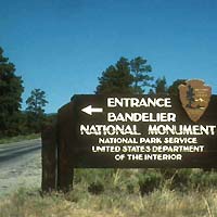
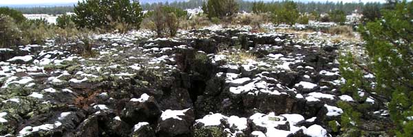
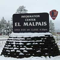
NATIONAL MONUMENT New Mexico |
 |
||
 |
|
||
|
|
|
||
|
administered jointly by National Park Service & Bureau of Land Management |
|
|
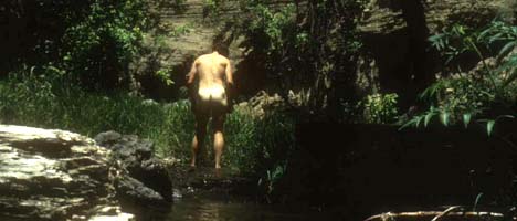
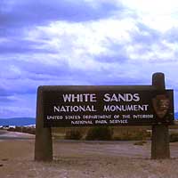
NATIONAL MONUMENT New Mexico |
|
||
 |
|
||
|
|
|
||
|
administered by National Park Service |
|
|
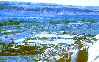
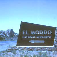
NATIONAL MONUMENT New Mexico |
 |
||
 |
|
||
|
|
|
||
|
administered by National Park Service |
|
More National Parks, Monuments, Battlefields and Historic Sites are arranged geographically by these links:
|
PHOTOS: All photos on this page are © 2004 Don Roberson; all rights reserved.