 The boundaries of California counties arose historically for
(generally)
political, not geographic, reasons. Thus the Sierran foothills were
chopped
into many counties during the Gold Rush, and the Central Valley has
been
greatly divided. When California became a State in 1850, there were 27
original counties. The largest were San Diego (essentially the entire
southeastern
quarter of the State, north to Death Valley -- an area now part of 6
counties)
and Mariposa (essentially everything east of the coastal counties from
Monterey to Ventura -- it shared a long north-south border with San
Diego
County). Within the next 20 years (1850-1870) many counties were formed
and much of our current alignment was stabilized. In the 1870s county
lines,
which had followed ridge lines or meridians, were redefined in terms of
the U.S. Township and Range system. Numerous small changes occurred at
that time. Another oddity occurred in 1872, when Ventura County was
created
from the eastern part of Santa Barbara County: Santa Barbara Island
remained
with its namesake county, despite its proximity to the newly created
Ventura
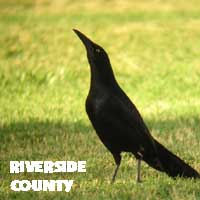
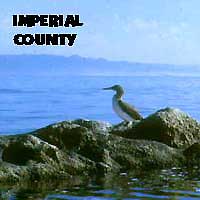
County. The final county created was Imperial County in 1907; it had
been
the southeastern part of Riverside County.
The boundaries of California counties arose historically for
(generally)
political, not geographic, reasons. Thus the Sierran foothills were
chopped
into many counties during the Gold Rush, and the Central Valley has
been
greatly divided. When California became a State in 1850, there were 27
original counties. The largest were San Diego (essentially the entire
southeastern
quarter of the State, north to Death Valley -- an area now part of 6
counties)
and Mariposa (essentially everything east of the coastal counties from
Monterey to Ventura -- it shared a long north-south border with San
Diego
County). Within the next 20 years (1850-1870) many counties were formed
and much of our current alignment was stabilized. In the 1870s county
lines,
which had followed ridge lines or meridians, were redefined in terms of
the U.S. Township and Range system. Numerous small changes occurred at
that time. Another oddity occurred in 1872, when Ventura County was
created
from the eastern part of Santa Barbara County: Santa Barbara Island
remained
with its namesake county, despite its proximity to the newly created
Ventura
County. The final county created was Imperial County in 1907; it had
been
the southeastern part of Riverside County.
One county was disestablished: Klamath
County, which existed between 1851-1875. It covered a swathe of today's
Humboldt County, north of Arcata, and parts of today's southwestern
portion
of Siskiyou County. In creating today's 58 counties from the original
27,
there have obviously been some big losers. Today (2006) San Diego has
the
highest county list, but by just 1 or 2 birds. Its lead would be
insurmountable
if it still included the Salton Sea, the Colorado River, and Death
Valley,
as it once did. Imagine what the Mariposa County list would have been
if
the county still included the vagrant traps of today's eastern Kern
County,
as it once did. Shasta County once had all of Modoc County plus much of
Lassen & eastern Siskiyou counties. Tulare County was another big
one:
it acquired Death Valley from San Diego in 1852, but lost it to the
newly-created
Inyo County in 1866. Trinity County once had all of today's Humboldt
&
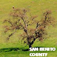
Del Norte counties. Even my own Monterey County was larger; San Benito
County was created out of eastern Monterey County in 1874, and then San
Benito got bits of Merced and Fresno counties about 1893. [All this
historical
information is derived from Donley, et al., 1979, Atlas of
California.]
What this has left us is a smattering
of big, little, and medium-sized counties, almost all of which have a
wide
variety of habitats. A good number encompass bits of the Central Valley
grasslands all way up to the Sierran crest. Southern California
counties
are generally large: there are only 11 counties (including the Channel
Islands, shared among 3 counties) in what birders call Southern
California.
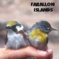
The remaining 47 counties (including the Farallon Islands which belong
to San Francisco) are considered Northern California. All counties have
separate political bodies, with county Boards of Supervisors and the
like,
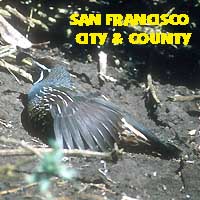
except one: the City and County of San Francisco is one unified
government.
Despite the disparity in number of counties between North and South,
the
11 counties in Southern California have 67,352 sq.mi., or over 42% of
the
land mass of the State.
For birding purposes, counties include the
offshore waters to 200 nautical miles (nmi) offshore. A bird offshore
is
assigned to the county that has the nearest point of land to the
observation,
including islands. My more detailed discussion
of county lines offshore is on the CBRC web site (following the
list
of standard abbreviations).
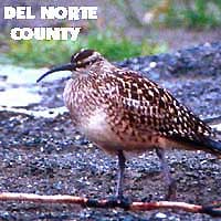
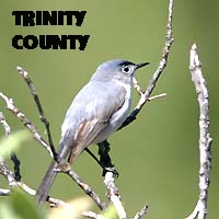
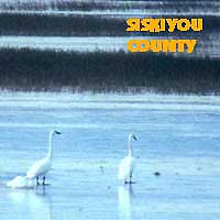
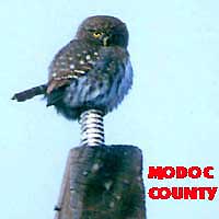
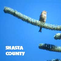
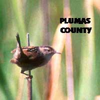
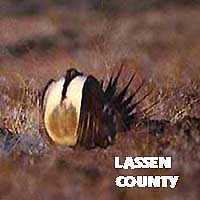
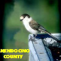
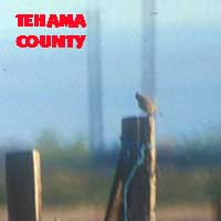
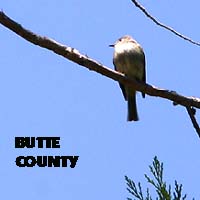
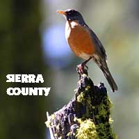
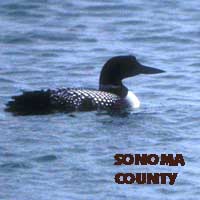
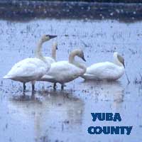
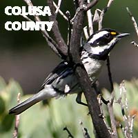
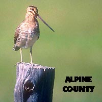
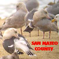
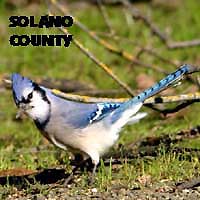
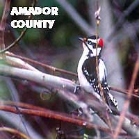
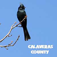
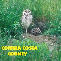
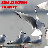
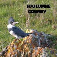
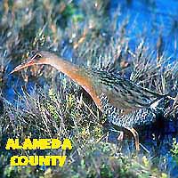
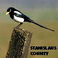
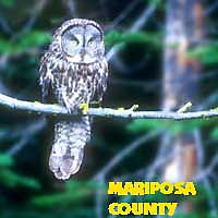
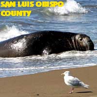
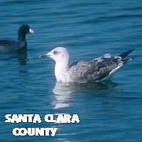
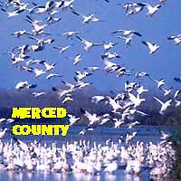
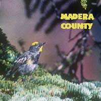
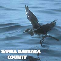
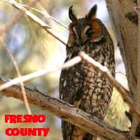
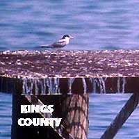
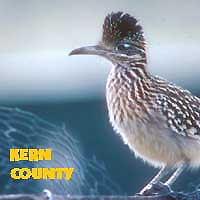
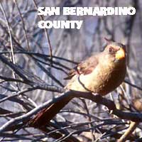
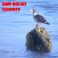
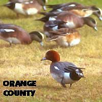
In this county project, each county page
features
one prime photo and a maximum of two other bird shots and (if
available)
1-3 scenic photos. Each page also has a short descriptive summary of
the
county or island set, and some personal reminisces about the photos
presented
or about birding that county. It is also hoped that no bird species
will
be duplicated between counties, so that in the end there could be up to
180 species represented (but in several cases I have posted 2-3
different
shots of the same bird within a county).
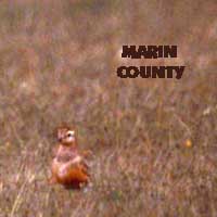
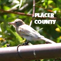
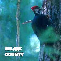
The photos were chosen primarily on my own
eccentric eye for artistic effort, within the parameters outlined
above,
and illustrate a range of birds from very common residents to extreme
rarities.
Ideally, I prefer photos that show a bird in a habitat, or those that
illustrate
some interesting behavior, or some interaction with another species.
Most
of the photos are of that ilk; relatively few are simple close-up
portraits.
In a number of cases a photo is shown because it is only one I have for
that county to date. The quality of photos vary greatly. Those shown
here
range over the past 40+ years (back to 1972), and I have had a variety
of cameras and lens over those decades, some decent and some not very
good.
I will be upgrading photos in this project as I am able to take them.
As in many of my web projects, this was
designed
primarily to be fun for me to contemplate and design. I set myself some
rules and limits and then considered what I could do to fill the slots.
I'll continue to try to obtain better photos for this project as we
travel
the State. And as the project has photos from as long ago as 1972 (and
even back to the mid-1960s if one includes scenic shots) and others as
recent as this year, creating these pages brought back a lot of
pleasant
memories. |
 This
project features California's 58 counties and its two major island
groups:
the Farallon Islands and the Channel Islands. Together they comprise 60
significant birding jurisdictions within the State. Birders have become
increasingly interested in birding the State's 58 counties in recent
years;
I keep personal life lists for all 60 areas detailed here.
This
project features California's 58 counties and its two major island
groups:
the Farallon Islands and the Channel Islands. Together they comprise 60
significant birding jurisdictions within the State. Birders have become
increasingly interested in birding the State's 58 counties in recent
years;
I keep personal life lists for all 60 areas detailed here.